Terrain Project
Take DEM terrain data and convert it into a heightmap image.
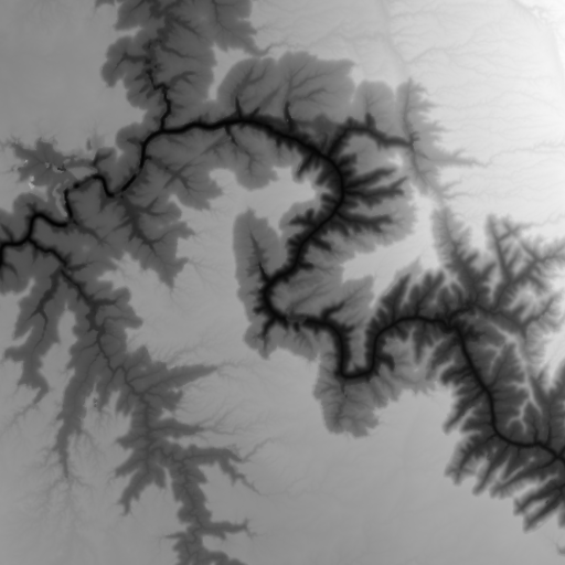
e.g. This is the heightmap image used to render the example terrain, data taken and compiled from the USGS site.
Use Three.js (uses WebGL to render 3D graphics in browser) to render the heightmap
Demo: Grand Canyon